
Creux du Van Rim Trail
Noiraigue · Jura · Switzerland
Difficulty scale
Muntside hiking scale: Easy, Moderate or Hard. It rates physical effort, not technical difficulty. It does not map onto via ferrata, climbing or ski scales.
Rating estimated from distance only: there is no accumulated ascent data for this route.
Technical difficulty (exposure, scrambling, terrain) is not assessed.
Map and track
Track with 4 imported points
Altitude and elevation
Waymarking
White-red-white — mountain path
About the trail
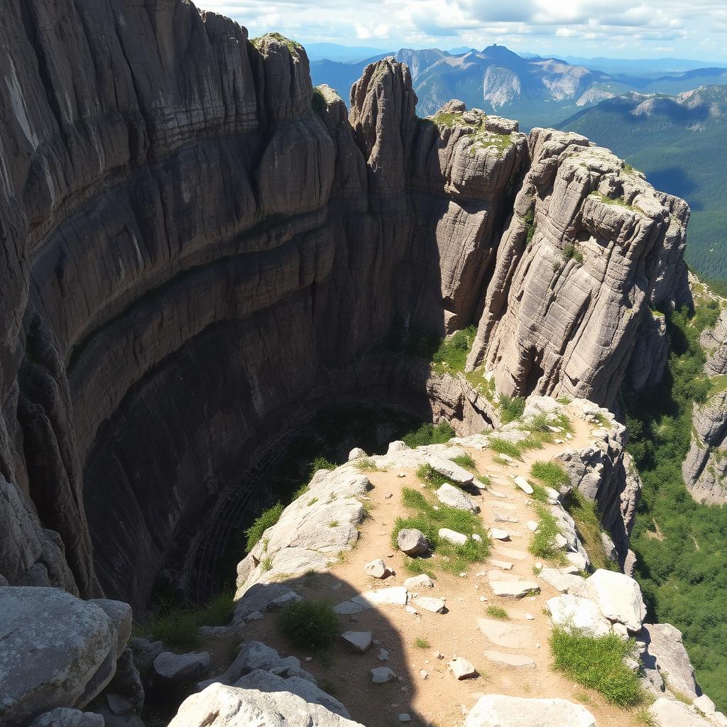
Creux du Van is a natural rocky amphitheatre in the Jura, its 160-metre limestone cliffs curving in a near-perfect crescent 1,400 metres wide. The classic loop from Noiraigue climbs through beech forest via the "Sentier des 14 Contours", follows the entire rim (with ibex and chamois often visible) and descends via the Ferme Robert. Views on a clear day extend across the Swiss plateau to the Alps. No exposure if you stay behind the wooden fence. Best from May to October; slippery when wet.
Getting there and access
- Location:
- Noiraigue · Jura · Switzerland
- Track start:
- 46.94200, 6.72500
- Parking:
- No data
Start coordinates: 46.93330, 6.73330
Check public transport and mountain roads before leaving; some routes close in winter.
Open directionsPoints of interest
Noiraigue
Start • 46.9420, 6.7250
Ferme Robert
Marked point • 46.9350, 6.7300
Le Soliat (1463m)
Marked point • 46.9333, 6.7333
Rim viewpoint
Finish • 46.9370, 6.7380
Recommended equipment
Safety
Weather and official alerts
Weather forecast
Loading weather...
The weather forecast does not confirm that the activity is safe. Check local conditions and official alerts before setting out.
Official alerts
Loading weather...
Community photos
Real photos shared by people who hiked the route.
Loading photos...
Comments
Loading comments...