
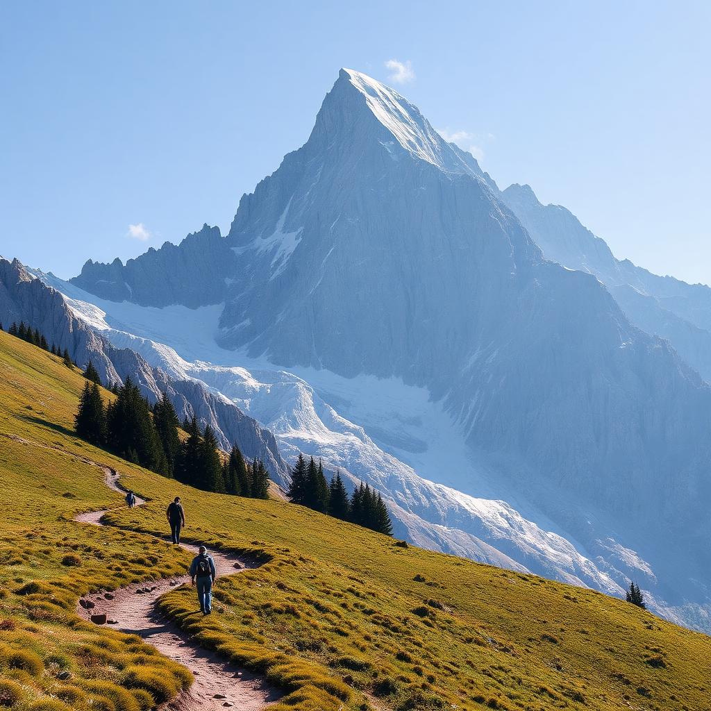
Eiger Trail
Grindelwald · Berner Oberland · Switzerland
Difficulty scale
Muntside hiking scale: Easy, Moderate or Hard. It rates physical effort, not technical difficulty. It does not map onto via ferrata, climbing or ski scales.
Rating estimated from distance only: there is no accumulated ascent data for this route.
Technical difficulty (exposure, scrambling, terrain) is not assessed.
Map and track
Track with 3 imported points
Altitude and elevation
Waymarking
White-red-white — mountain path
About the trail
The Eiger Trail runs directly beneath the legendary 1,800-metre north face of the Eiger, from the Eigergletscher station down to Alpiglen. Every step offers a humbling view of the vertical limestone wall where mountaineering history was written. The path crosses alpine pastures grazed by cattle, stony moraines and small streams fed by the retreating Eiger glacier. Waymarking is excellent and the descent is gradual, but the ground is rocky and can be slippery when wet. On clear days the panorama sweeps across the Grindelwald valley to the Wetterhorn and Faulhorn. Best from late June to early October; earlier or later, snow may linger below the face. Combine with the Jungfraujoch or Kleine Scheidegg railway for an easy return.
Getting there and access
- Location:
- Grindelwald · Berner Oberland · Switzerland
- Track start:
- 46.57730, 8.01000
- Parking:
- No data
Start coordinates: 46.57690, 8.02330
Check public transport and mountain roads before leaving; some routes close in winter.
Open directionsPoints of interest
Eigergletscher
Start • 46.5773, 8.0100
Rotstock
Marked point • 46.5762, 8.0270
Alpiglen
Finish • 46.5920, 8.0450
Recommended equipment
Safety
Weather and official alerts
Weather forecast
Loading weather...
The weather forecast does not confirm that the activity is safe. Check local conditions and official alerts before setting out.
Official alerts
Loading weather...
Community photos
Real photos shared by people who hiked the route.
Loading photos...
Comments
Loading comments...