
Faulhornweg (Schynige Platte to First)
Schynige Platte · Berner Oberland · Switzerland
Difficulty scale
Muntside hiking scale: Easy, Moderate or Hard. It rates physical effort, not technical difficulty. It does not map onto via ferrata, climbing or ski scales.
Rating estimated from distance only: there is no accumulated ascent data for this route.
Technical difficulty (exposure, scrambling, terrain) is not assessed.
Map and track
Track with 5 imported points
Altitude and elevation
Waymarking
White-blue-white — alpine path
About the trail
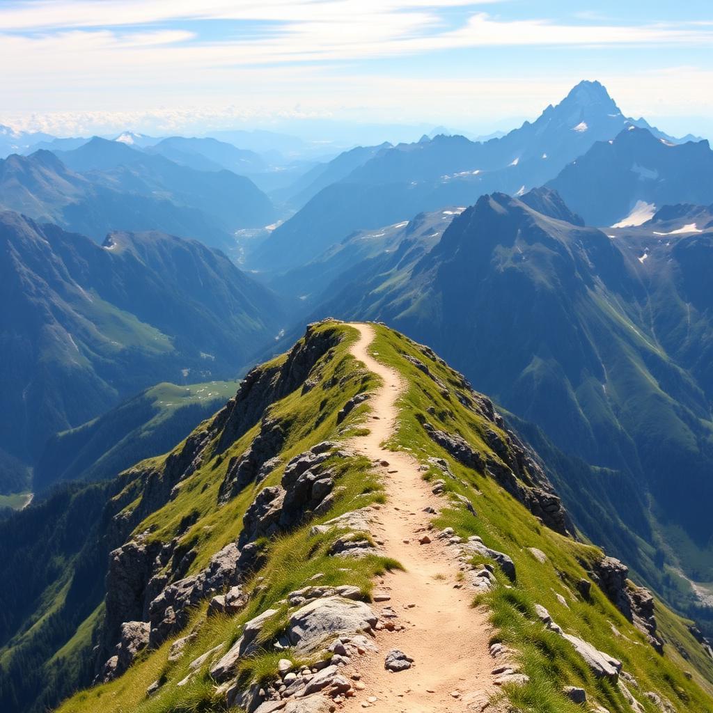
Widely rated as one of the finest ridge walks in the Alps, the Faulhornweg links Schynige Platte with First above Grindelwald along a high balcony trail. Starting at 2,000 metres, it climbs steadily to the Faulhorn (2,681 m) with its historic mountain hotel, then rolls over grassy summits with an unbroken panorama of the Eiger, Mönch and Jungfraujoch. The final descent passes Bachalpsee before reaching First. The route is long, exposed and demands stamina and stable weather, but there is no technical difficulty. Cog railway up, gondola down. Season roughly July to early October; snow patches can persist into July.
Getting there and access
- Location:
- Schynige Platte · Berner Oberland · Switzerland
- Track start:
- 46.64780, 7.90830
- Parking:
- No data
Start coordinates: 46.65700, 7.90600
Check public transport and mountain roads before leaving; some routes close in winter.
Open directionsPoints of interest
Schynige Platte
Start • 46.6478, 7.9083
Weber Hütte
Marked point • 46.6510, 7.9700
Faulhorn (2681m)
Marked point • 46.6533, 8.0700
Bachalpsee
Marked point • 46.6656, 8.0293
First
Finish • 46.6592, 8.0533
Recommended equipment
Safety
Weather and official alerts
Weather forecast
Loading weather...
The weather forecast does not confirm that the activity is safe. Check local conditions and official alerts before setting out.
Official alerts
Loading weather...
Community photos
Real photos shared by people who hiked the route.
Loading photos...
Comments
Loading comments...