
Höhbalmen Höhenweg
Zermatt · Valais · Switzerland
Difficulty scale
Muntside hiking scale: Easy, Moderate or Hard. It rates physical effort, not technical difficulty. It does not map onto via ferrata, climbing or ski scales.
Rating estimated from distance only: there is no accumulated ascent data for this route.
Technical difficulty (exposure, scrambling, terrain) is not assessed.
Map and track
Track with 5 imported points
Altitude and elevation
Waymarking
White-blue-white — alpine path
About the trail
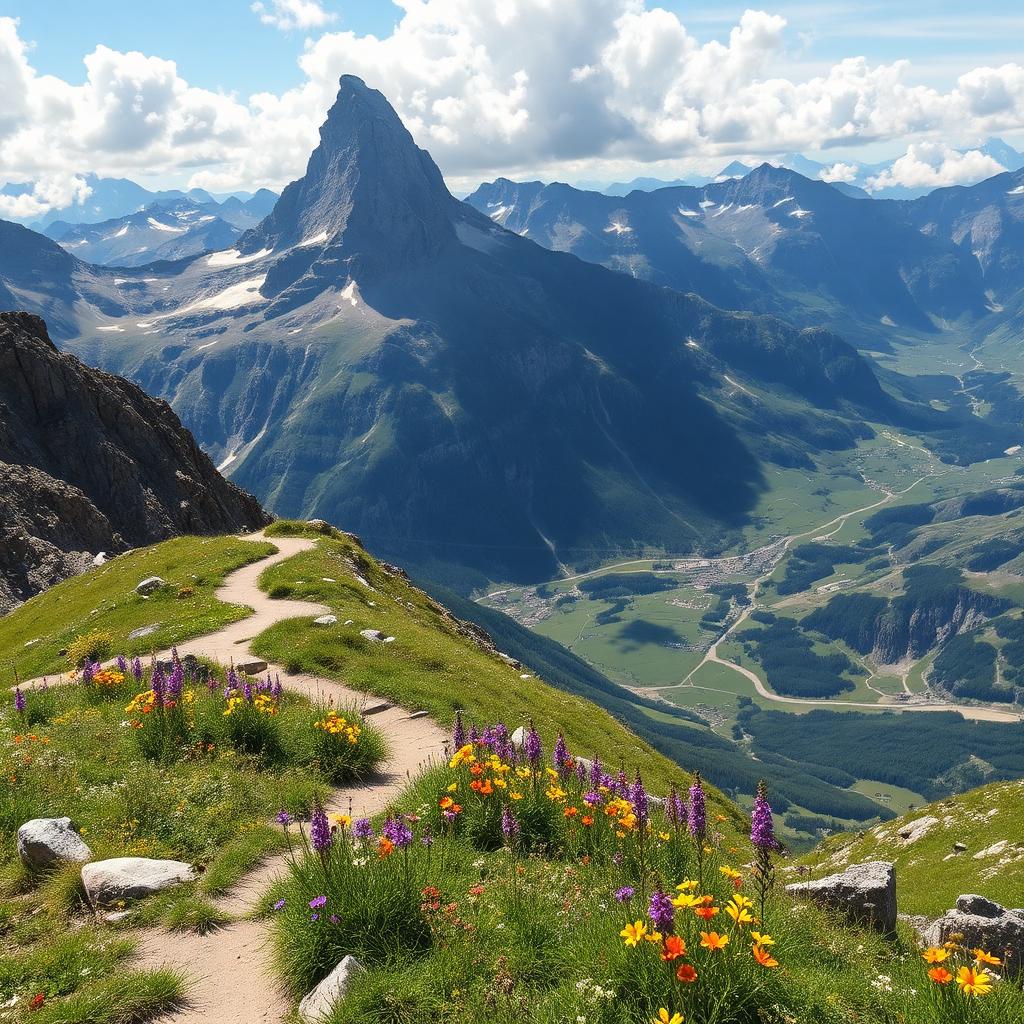
A demanding but comparatively quiet high-level loop from Zermatt, widely considered one of the most beautiful full-day hikes in the Alps. From town, climb steeply through Trift to the Höhbalmen meadows at 2,700 metres, where a horseshoe of iconic peaks — Matterhorn, Dent Blanche, Ober Gabelhorn, Zinalrothorn and Weisshorn — surrounds you. The descent passes the historic Trift hut, where a rest with cake is traditional. Long day with significant elevation gain; strong hikers and stable weather essential. Season: July to early October.
Getting there and access
- Location:
- Zermatt · Valais · Switzerland
- Track start:
- 46.02070, 7.74910
- Parking:
- No data
Start coordinates: 46.02070, 7.74910
Check public transport and mountain roads before leaving; some routes close in winter.
Open directionsPoints of interest
Zermatt
Start • 46.0207, 7.7491
Trift
Marked point • 46.0362, 7.7370
Höhbalmen
Marked point • 46.0293, 7.7381
Zmutt
Marked point • 46.0100, 7.7180
Zermatt
Finish • 46.0207, 7.7491
Recommended equipment
Safety
Weather and official alerts
Weather forecast
Loading weather...
The weather forecast does not confirm that the activity is safe. Check local conditions and official alerts before setting out.
Official alerts
Loading weather...
Community photos
Real photos shared by people who hiked the route.
Loading photos...
Comments
Loading comments...