
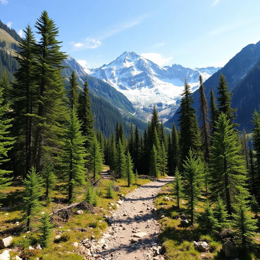
Val Roseg Trail
Pontresina · Graubünden · Switzerland
Difficulty scale
Muntside hiking scale: Easy, Moderate or Hard. It rates physical effort, not technical difficulty. It does not map onto via ferrata, climbing or ski scales.
Rating estimated from distance only: there is no accumulated ascent data for this route.
Technical difficulty (exposure, scrambling, terrain) is not assessed.
Map and track
Track with 3 imported points
Altitude and elevation
Waymarking
White-red-white — mountain path
About the trail
A gentle valley walk from Pontresina to the head of Val Roseg, one of the most beautiful glacial valleys in the Bernina Alps. The trail follows a milky river through larch and stone-pine forest, opening onto broad pastures with the Roseg glacier and Piz Bernina at the far end. A historic hotel-restaurant near the glacier makes a natural turnaround point. Horse-drawn carriages operate along part of the route in summer. Mostly flat, but long — pace yourself. Best from June through October; a spectacular ski tour in winter.
Getting there and access
- Location:
- Pontresina · Graubünden · Switzerland
- Track start:
- 46.49150, 9.90200
- Parking:
- No data
Start coordinates: 46.45470, 9.87470
Check public transport and mountain roads before leaving; some routes close in winter.
Open directionsPoints of interest
Pontresina
Start • 46.4915, 9.9020
Hotel Roseg Gletscher
Marked point • 46.4547, 9.8747
Roseggletscher viewpoint
Finish • 46.4360, 9.8620
Recommended equipment
Safety
Weather and official alerts
Weather forecast
Loading weather...
The weather forecast does not confirm that the activity is safe. Check local conditions and official alerts before setting out.
Official alerts
Loading weather...
Community photos
Real photos shared by people who hiked the route.
Loading photos...
Comments
Loading comments...