
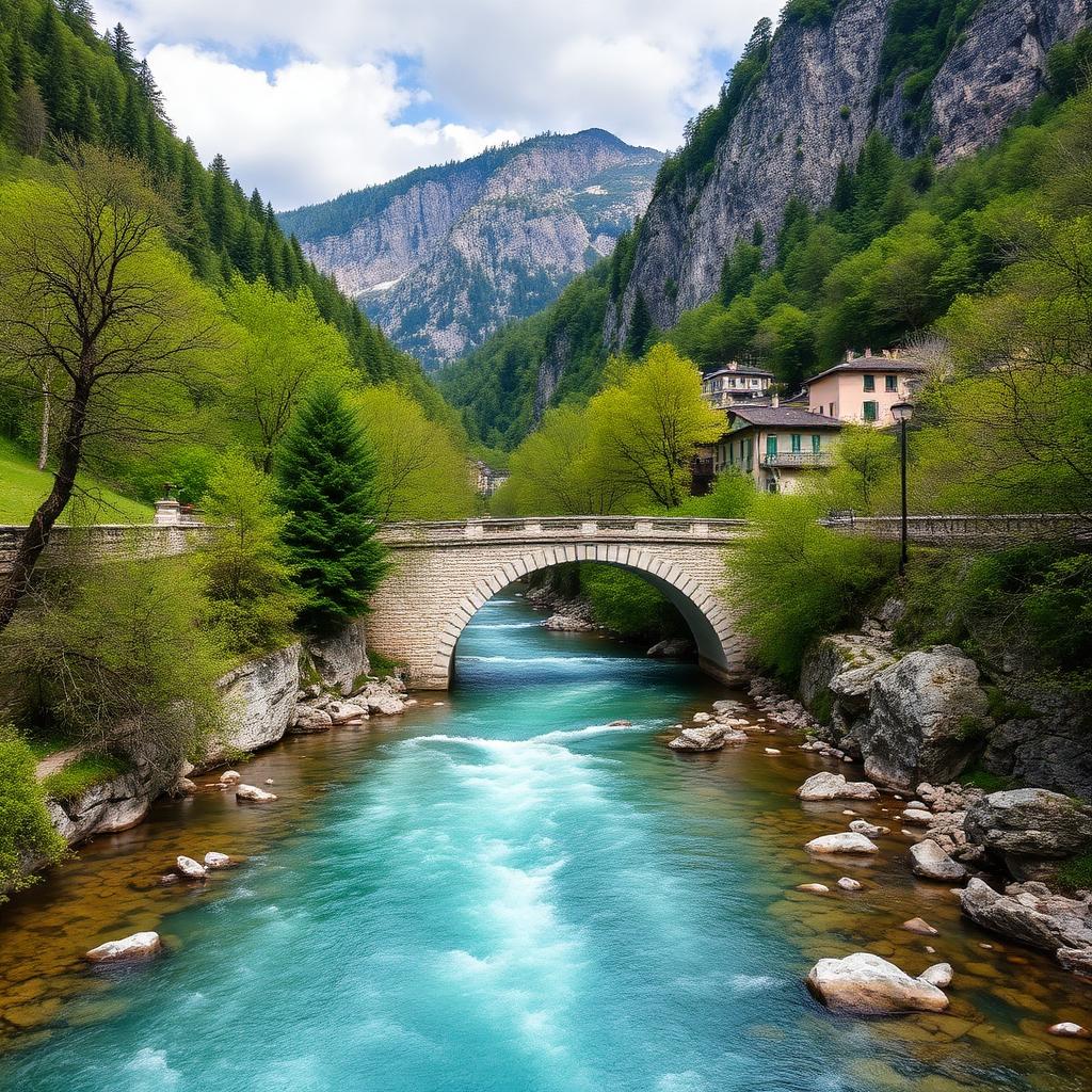
Verzasca Valley – Sentierone
Lavertezzo · Ticino · Switzerland
Difficulty scale
Muntside hiking scale: Easy, Moderate or Hard. It rates physical effort, not technical difficulty. It does not map onto via ferrata, climbing or ski scales.
Rating estimated from distance only: there is no accumulated ascent data for this route.
Technical difficulty (exposure, scrambling, terrain) is not assessed.
Map and track
Track with 3 imported points
Altitude and elevation
Waymarking
Yellow diamond — hiking path
About the trail
The Sentierone runs the length of the Verzasca valley through chestnut woods and past traditional stone hamlets, following the emerald-green river that is the trademark of Ticino. The classic stage from Lavertezzo to Sonogno crosses the arched Ponte dei Salti and links a string of picture-perfect villages with grotti serving polenta and local wines. The trail is well-marked, mostly gentle, and doubles as a cultural route through rural Ticinese life. Bus service along the valley makes point-to-point walks easy. Best from April to November.
Getting there and access
- Location:
- Lavertezzo · Ticino · Switzerland
- Track start:
- 46.34800, 8.78600
- Parking:
- No data
Start coordinates: 46.26060, 8.83580
Check public transport and mountain roads before leaving; some routes close in winter.
Open directionsPoints of interest
Sonogno
Start • 46.3480, 8.7860
Brione
Marked point • 46.2860, 8.7870
Lavertezzo
Finish • 46.2606, 8.8358
Recommended equipment
Safety
Weather and official alerts
Weather forecast
Loading weather...
The weather forecast does not confirm that the activity is safe. Check local conditions and official alerts before setting out.
Official alerts
Loading weather...
Community photos
Real photos shared by people who hiked the route.
Loading photos...
Comments
Loading comments...